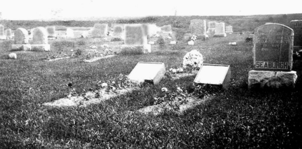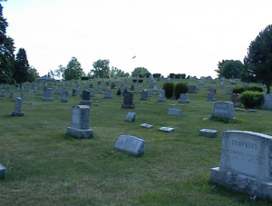

 Photo taken by Ed Fink in the
Fall of 2004
Photo taken by Ed Fink in the
Fall of 2004Above are two photos of the cemetery. The top photo (our section 1)depicts the cemetery a few years after burials commenced on the west side of the road, and the bottom photo was taken in the Fall of 2004, about 50 feet further west than the first one.
It is a medium sized cemetery with about 3, 500 known burials there, not including those at the old cemetery which is just across the road, on the east side of Route 9W.
In the Fall of 2004, Ed Fink took the time and painstakingly photographed every marker now existing at both the "new" cemetery and the "old" one across the road as well. He returned there day after day until he completed the monumental task. I am grateful for all of his work and determination.
During the course of this photographing Ed met the caretaker, and was given permission to make copies of their books. He was able to copy all but one book. That final book may become available at a later date. If it does, the information will be added to the work already here.
By comparing the books to the photographed markers, we were able to determine some burials that do not have markers and some burials that do not appear in the books. It was as difficult reading some portions of the books as it was reading some of the markers, so there are undoubtedly some errors.
The books contain the lot numbers, but we weren't able to determine how the lot numbers were assigned. Absent a marker, the lot numbers are the only indication of where in the cemetery the burial took place. Ed assigned section numbers as he was working, and we have placed those section numbers on the entries that have a markers.
The sections numbers are in sequence beginning with section 1 at the highway and ending with section 12 at the west end of the cemetery. The sections are clearly defined by the access roads. The section numbers will give you the general location of the marker.
Burials of known veterans are highlighted. They appear individually within the files.